
Waterfalls, volcano hikes and craters from the coast
The coast is backed by hills and, further in, a chain of volcanoes. Most of these are a morning out and back.
Waterfalls · half day
Cascadas de Tamanique
22.2 km · ~25 min from the house
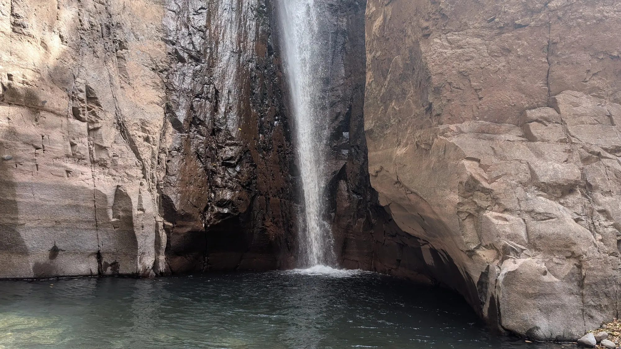
© Sambusak74 · CC BY 4.0 · Wikimedia Commons Four waterfalls in the hills above the coast, with pools for swimming and the tallest fall at about 40 m. A local guide from the town’s central park is required. The trail is steep and rocky, roughly 3 km out and back; the climb out is the hard part. Easiest in the dry season.
Hike · morning
Santa Ana volcano (Ilamatepec)
80.8 km · ~86 min from the house
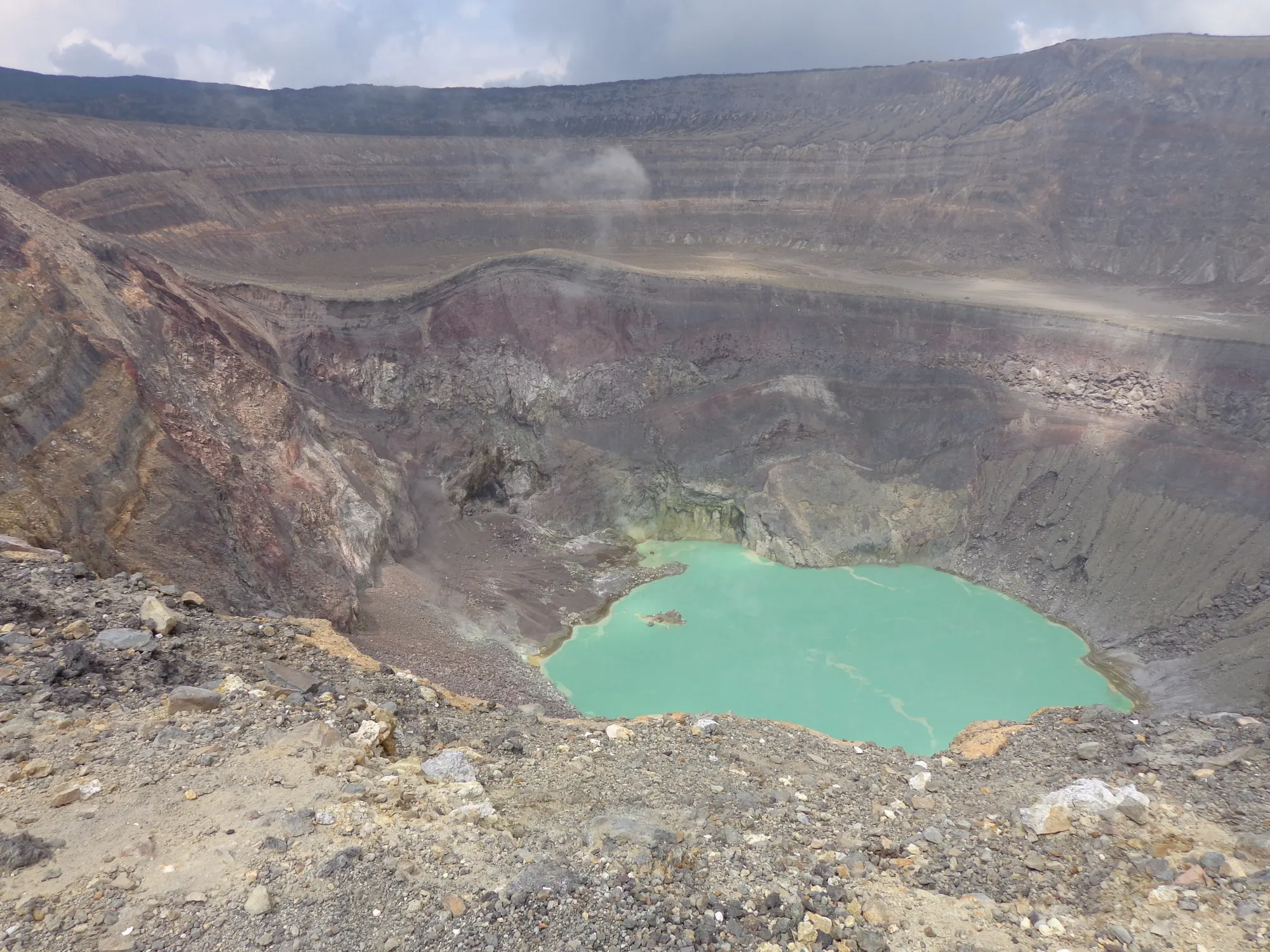
© Emberlifi · CC BY-SA 4.0 · Wikimedia Commons At 2,381 m, the highest volcano in El Salvador, with a turquoise crater lake at the top. Guided groups leave from Cerro Verde National Park in the morning; it’s roughly 7 km round trip.
Volcano · the view
Izalco
80.8 km · ~86 min from the house
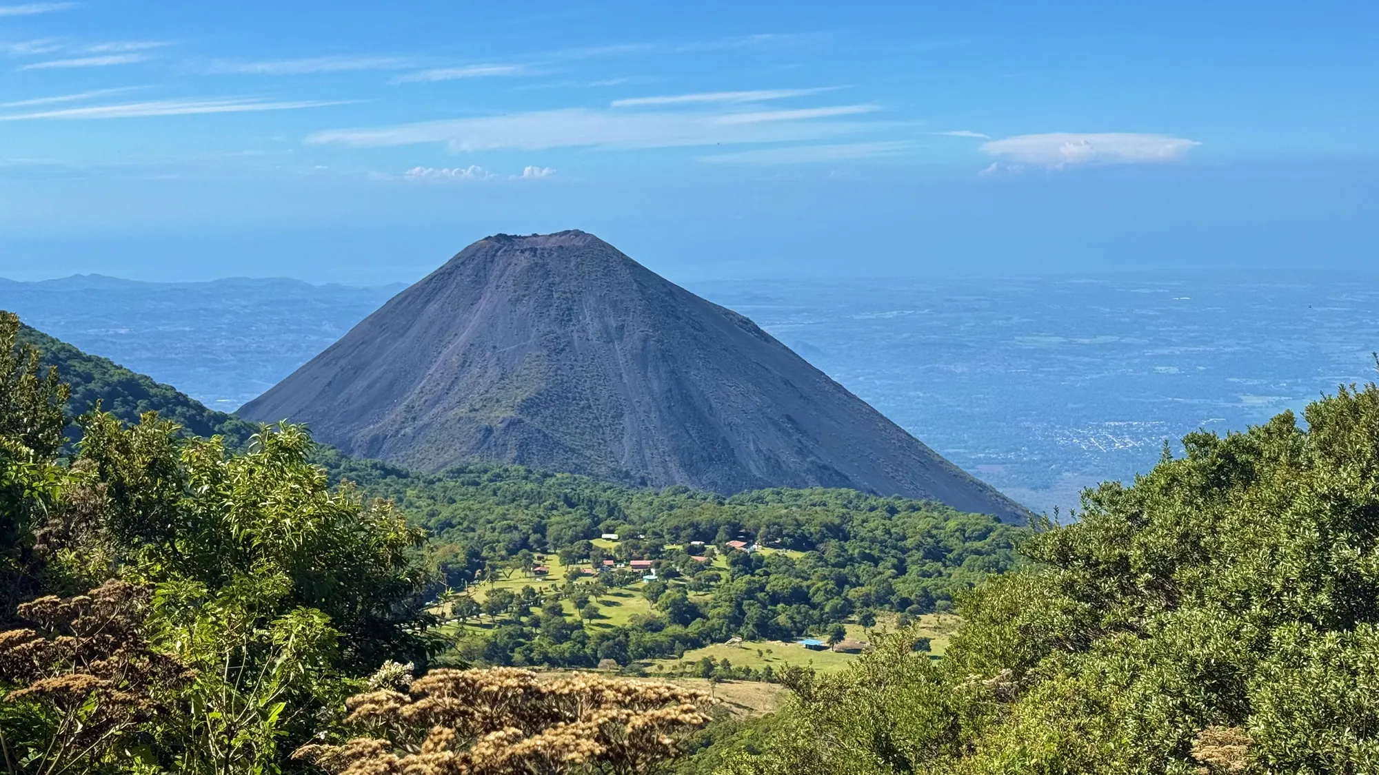
The perfect cone next door to Santa Ana. Born in 1770, it erupted almost constantly until 1958, which earned it the name “Lighthouse of the Pacific”. Best seen from the Santa Ana trail.
Sources: [1]
Crater · cool air
El Boquerón
51 km · ~54 min from the house
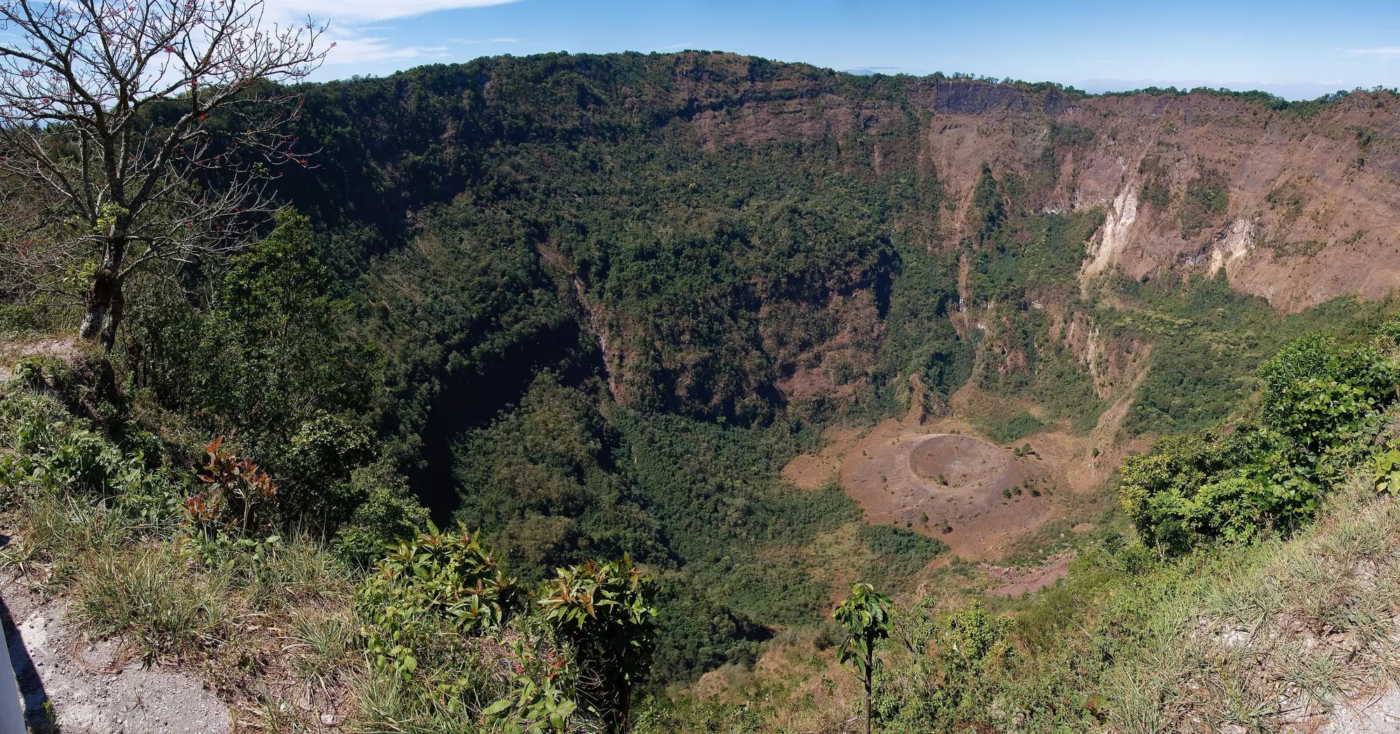
© Jpyle490 · CC BY-SA 3.0 · Wikimedia Commons A national park on top of the San Salvador volcano. The crater is about 5 km across and 558 m deep, with a smaller crater inside it. Cool all year, and close to the city.
Sources: [1]
Waterfall · basalt columns
Los Tercios
95.1 km · ~98 min from the house
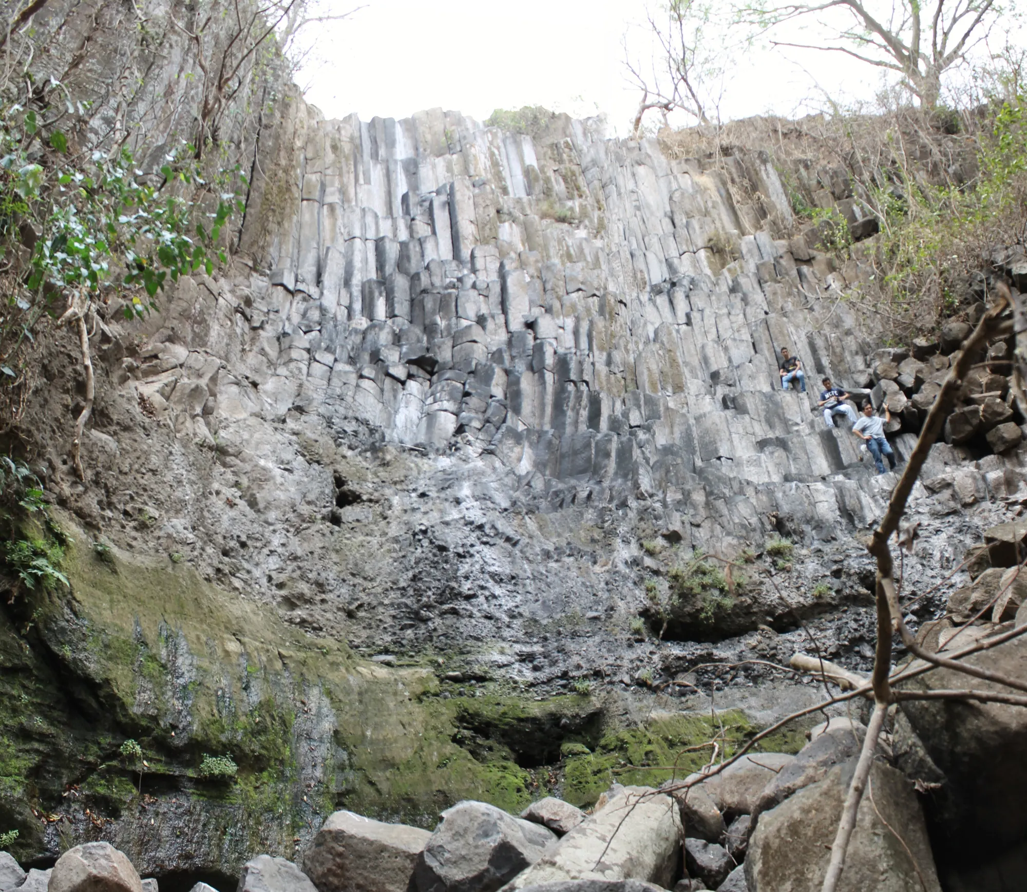
© ElmerGuevara · CC BY-SA 3.0 · Wikimedia Commons A 10 m fall over hexagonal basalt columns, about 1 km from Suchitoto. It runs in the rainy season; in the dry months the stone itself is the show. The way down is loose, so wear shoes with grip.
Sources: [1]
Distances are by road from Club Atami. Times are OpenStreetMap routing estimates without traffic; allow more. Guide photos are from Wikimedia Commons and show the places, not The Cabin.
Questions
Do I need a guide for the Tamanique waterfalls?
Yes. Guides are hired in Tamanique’s central park; going with one is required.
How high is the Santa Ana volcano?
2,381 m. It’s the highest volcano in El Salvador.
When does Los Tercios have water?
In the rainy season. In the dry months you still see the basalt columns.
Stay at The Cabin → · Beaches & breaks · Towns & food · Remote work